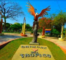
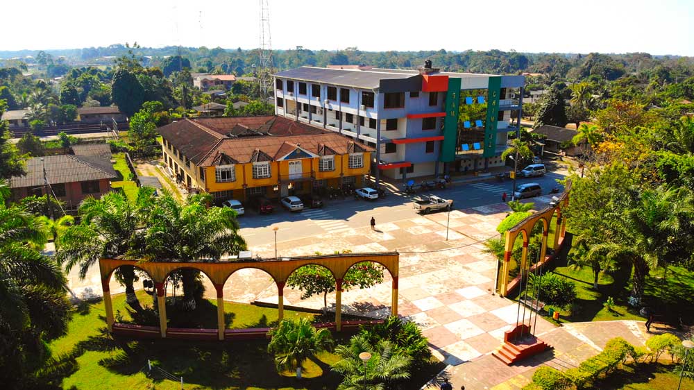
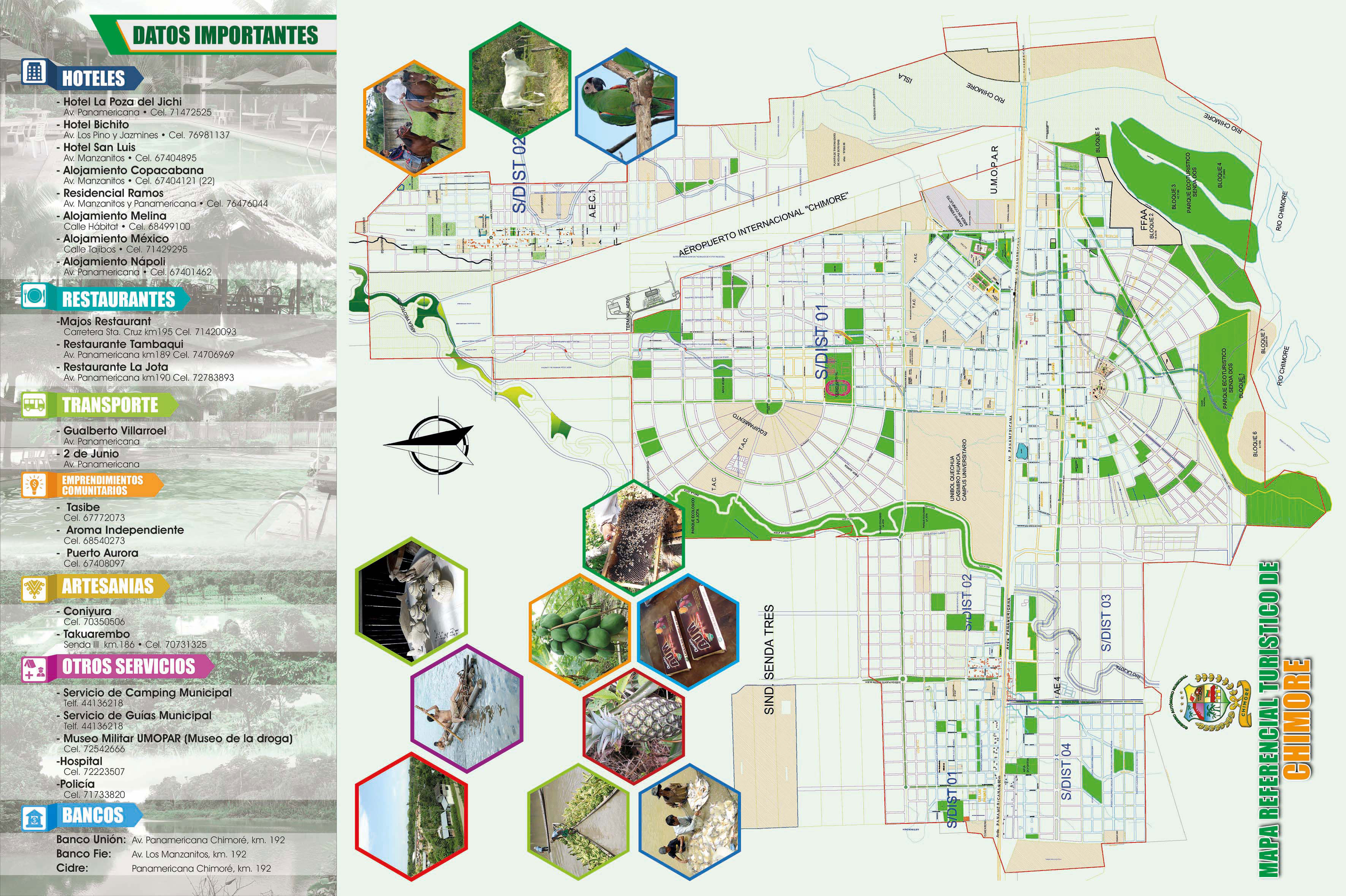
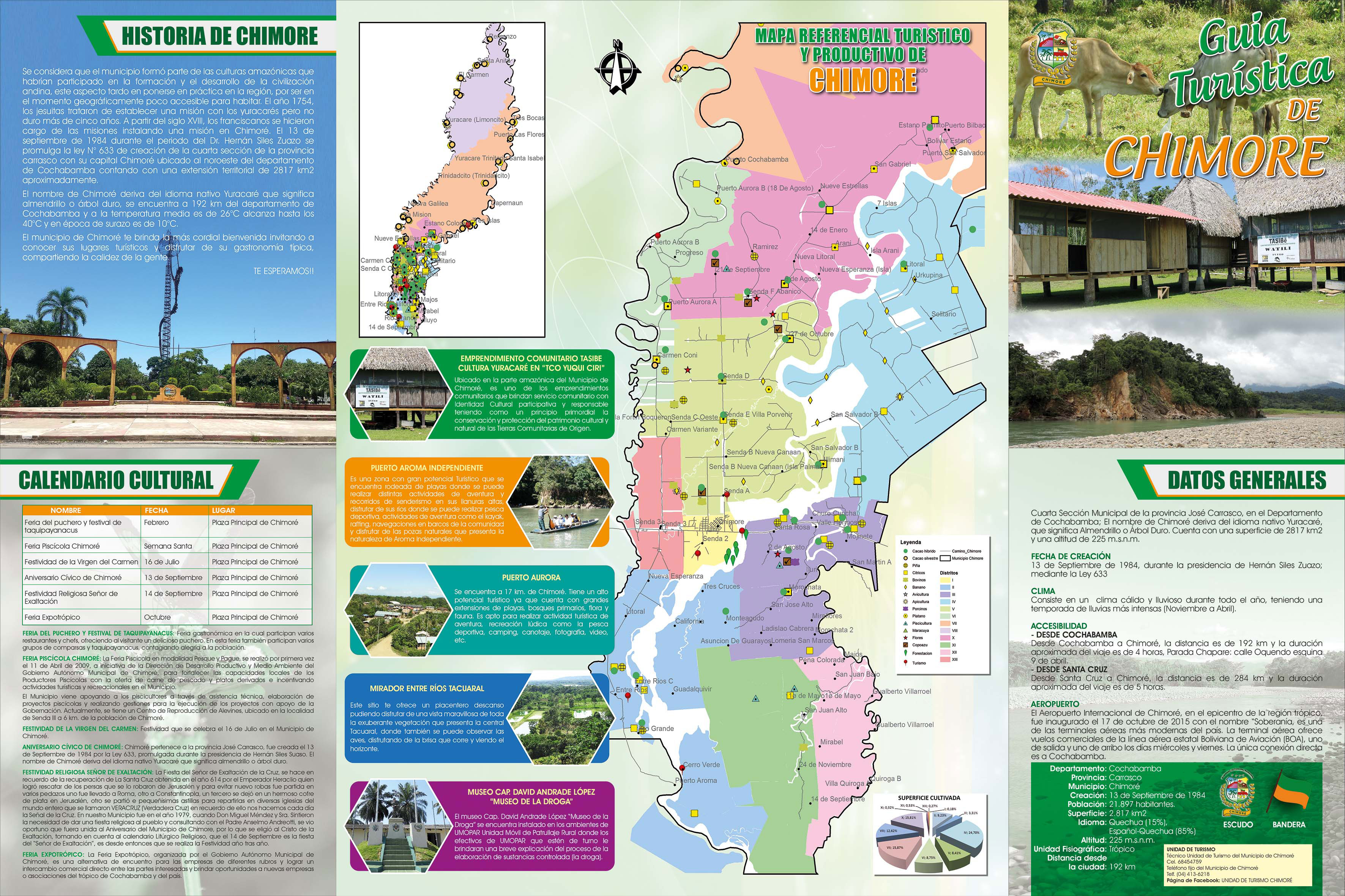
Chimoré
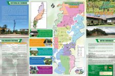
Fourth Municipal Section of the José Carrasco province, in the Department of Cochabamba; The name Chimoré derives from the native language Yuracaré, What does Almendrillo or Hard Tree mean?. It has a surface of 2817 km2 and an altitude of 225 m.s.n.m.
GENERAL DATA
Fourth Municipal Section of the José Carrasco province, in the Department of Cochabamba; The name Chimoré derives from the native language Yuracaré, What does Almendrillo or Hard Tree mean?. It has a surface of 2817 km2 and an altitude of 225 m.s.n.m.
CREATION DATE
13 September 1984, during the presidency of Hernán Siles Zuazo; through the Law 633
CLIMATE
It consists of a warm and rainy climate throughout the year, having a more intense rainy season (November to April).
ACCESSIBILITY:
[wp-svg-icons icon=”compass” wrap=”i”] FROM COCHABAMBA
From Cochabamba to Chimoré, the distance is 192 km and the approximate duration of the trip is 4 hours, take transportation from the chapare stop: Oquendo street corner 9 April.
[wp-svg-icons icon=”compass” wrap=”i”] FROM SANTA CRUZ
From Santa Cruz to Chimore, the distance is 284 km and the approximate duration of the trip is 5 hours.
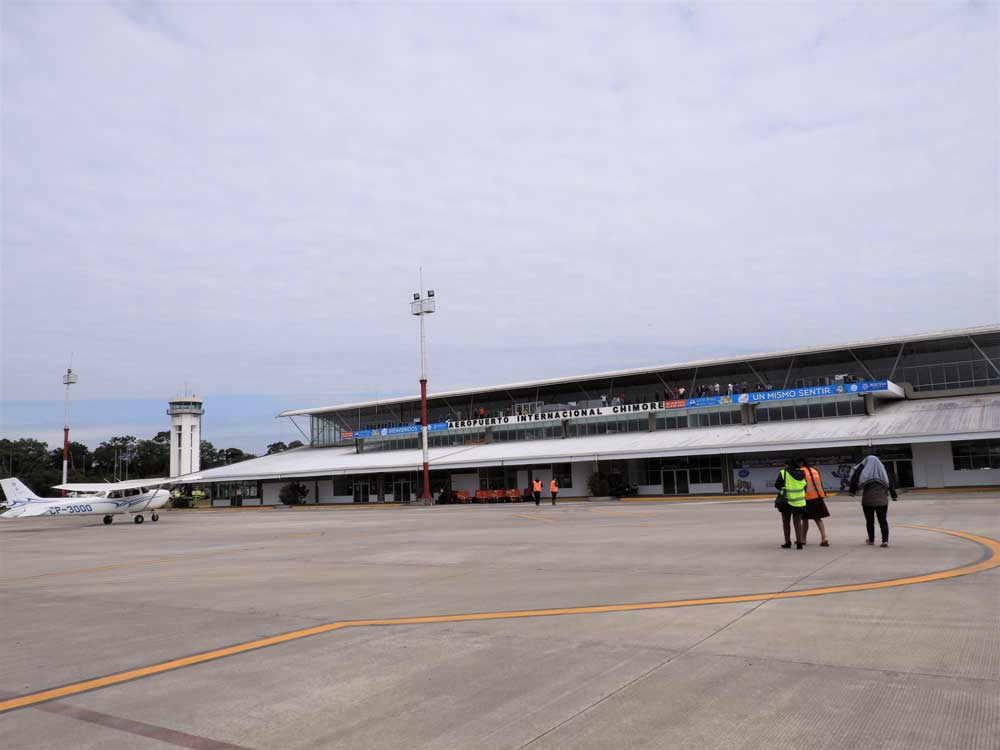
[wp-svg-icons icon=”airplane” wrap=”i”] AIRPORT
Chimoré International Airport, in the epicenter of the tropics, was inaugurated on 17 October 2015 with the name “Sovereignty, It is one of the most modern air terminals in the country. The air terminal offers commercial flights of the state airline Boliviana de Aviación (BOA), one departure and one arrival on Wednesday and Friday. The only direct connection is to Cochabamba.
Fuente: Chimoré Mayor's Office

[/ap_tab]
[ap_tab title=”+Places”][widget id=”arpw-widget-59″][/ap_tab]
[ap_tab title=”Featured companies”][widget id=”arpw-widget-20″][/ap_tab]
[/ap_tab_group]