Combaya – Peace
[rev_slider combaya]
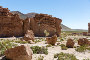
Tourist Activities
![]()
![]()
Recommendations
Wear light clothing, comfortable shoes, glasses and hat for the sun and waterproof coat for the rainy season; first aid kit and fire repellent.
UTM N coordinates 8252565 – E 526349
Altitude 3275. m.s.n.m.
Temperatura mine. 15 OC – Max. 25 OC
[restabs alignment=”osc-tabs-left” pills=”nav-pills” responsive=”false” class=”tabolivia” seltabcolor=”#1e73be” tabhovercolor=”#0066bf”]
[restab title=”Description” active=”active”]
Combaya
The population of Combaya is located approximately 23.78 km from the town of Sorata. It is one of the few towns that preserves its colonial architecture. Located on the middle slope of a mountain range. The town center has a diversity of climates. The main economy revolves around agriculture based on corn production., length, wheat, goose and barley, There is a variety of cultivation areas where the visitor can appreciate and tour the crops.. Its inhabitants are also dedicated to raising cattle., goat, sheep and pork , They also produce woolen fabrics and yarns., which are dyed with substances obtained from the plants of the region. The popular festivals of Combaya are Holy Week and the most widespread in the area is held in devotion to the Virgin of the Nativity, which takes place on 8 September with the presentation of dances such as the “Morenada”, “Kullawada” and the “Llamerada” attended by dancers from the surrounding towns. The advisable season to visit this attractive town is the dry season, which includes the months of May to September..
[/restab]
[restab title=”+Places”]

Calla de combaya
[/restab]
[/restabs]
[sform]3[/sform]