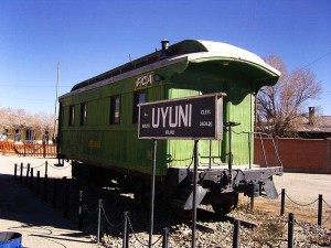
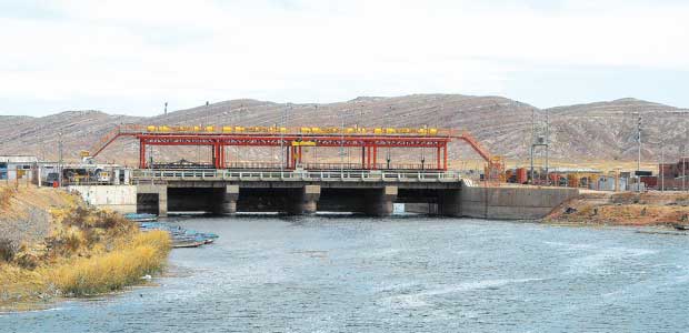
Desaguadero River – Peace
Recommendations
Wear light clothing for the day and warm clothing for the night, comfortable shoes, sunglasses and sun hat, waterproof coat for the rainy season and sunscreen.
UTM N coordinates 8168146 – E 496368
Altitude 3820 m.s.n.m.
Temperatura mine. 4.5 OC – Max. 15 OC
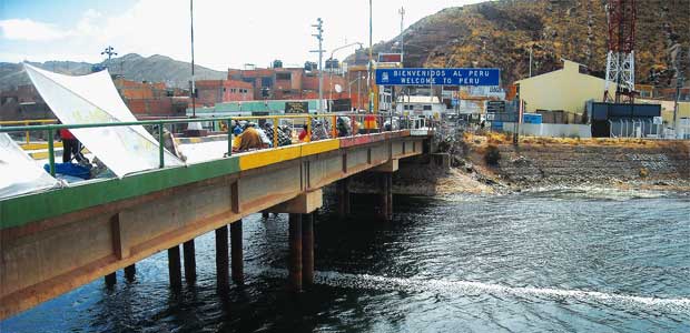
Desaguadero River – Peace
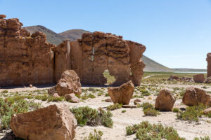
The Desaguadero River, It is the only tributary of Lake Titicaca, known in pre-Columbian times by the names Aullagas or Chacamarca. Its waters follow a path of 436 kilometers to the south, discharging its channel into Lake Poopó in the Department of Oruro. The Aymara and Quechua populations of the region assign cosmogonic qualities similar to those of Lake Titicaca.. The flow is used for irrigation, hunts in countless communities since its course runs through practically the entire plateau. Along the way, it shows numerous picturesque landscapes characterized by the presence of high Andean birdlife.. The riverside communities still preserve the great cultural wealth of the Aymaras and the Urus who lived in Lake Poopó.
A legend about the origin relates that Thunupa, the indian messiah, He preached in the Titicaca basin; The inhabitants of the Islands did not accept these preachings, because they were the focus of idolatry, so they tied the Messiah on a reed raft and threw it into the waters of the lake in the Wiñaymarca region near the reflecting pool.. As the legend continues, The winds propelled the raft where it acquired an irregular speed that was considered a miracle., since in the lake certain currents of the mass of water that circulated at such speed were non-existent. The enormous force dragged the raft to the banks or buttress of the mountain range, causing the breakup of the coast, thus emerging from their skirts, the Desaguadero River.
AUTONOMOUS DEPARTMENTAL GOVERNMENT OF LA PAZ
SECRETARY OF ECONOMIC DEVELOPMENT AND INDUSTRIAL TRANSFORMATION
DIRECTORATE OF CULTURES AND TOURISM
TOURISM UNIT